Where Should I Ride?
If you've ever thought to yourself I'd like to ride my bike to [part of town], but don't know how to get there safely on a bike, then you're in the right place.
Venturing beyond the greenways and into the city can be a rewarding adventure. This article describes three concrete ways to demystify city riding and start getting more comfortable on the city streets. Empowering everyone to choose bikes over cars is the name of the game. That starts with proper knowledge and tools.
Let's start with the #1 tool to help you plan your route:
- The Strava Heatmap
Strava is free to use. Its Heatmap feature is a great tool for finding popular bike/ped routes. It aggregates data from thousands of riders, runners, and walkers into a visual representation of where people are moving themselves – by bike or by foot.
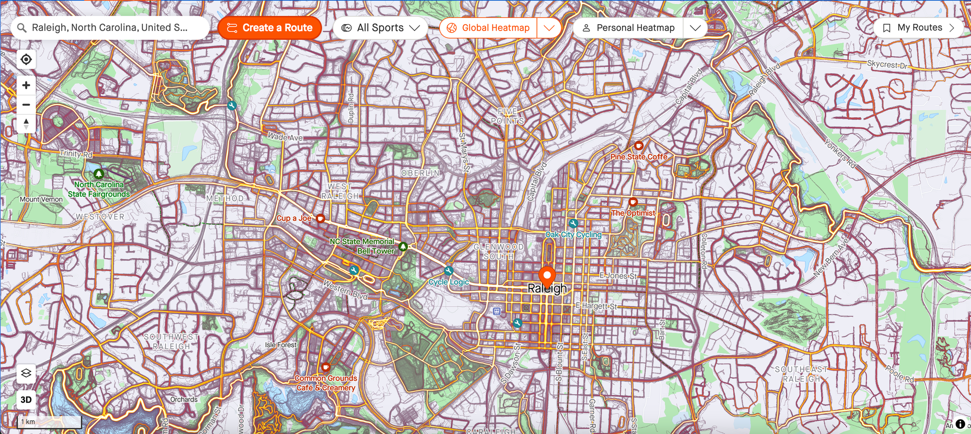
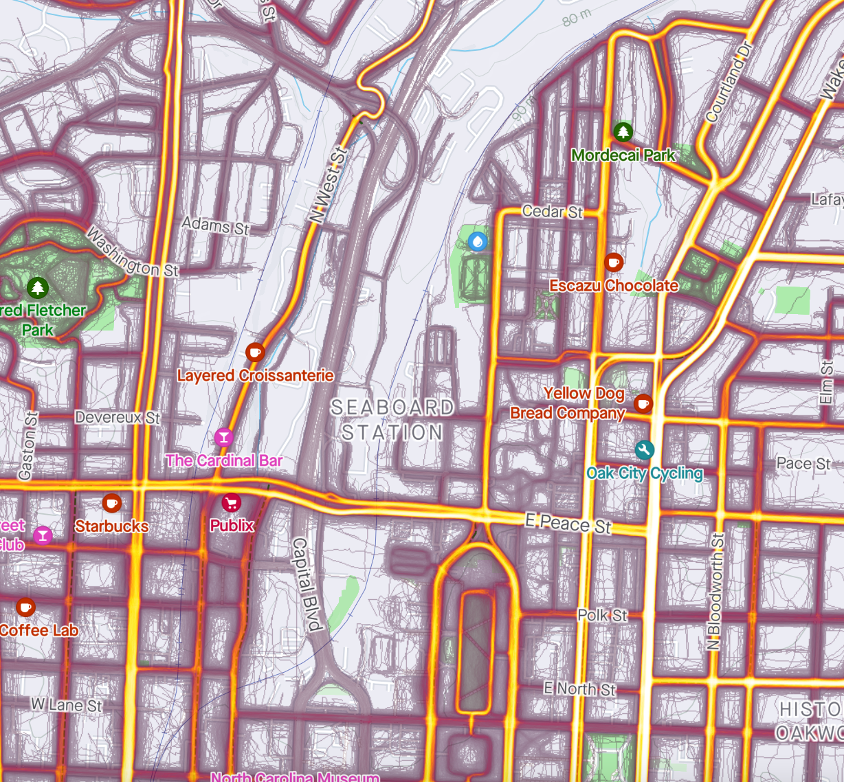
It makes sense, then, that "hotter" routes are safer. More people = safer, right? Sort of. Hillsborough is white-hot on this map. It's hyper popular, second only to maybe the greenway, and safe in the sense that drivers are expecting to see cyclists there. Just make sure to not get doored.
The inverse is true... sometimes. "Cold" routes are often dangerous. You can see that around Capital Boulevard, there's a huge dead zone. Thanks, highway infrastructure!
"Hotter" routes are generally safer, but that's not a hard and fast rule. It should just be a starting point as you build your route. Trial and error after that. Repetition, baby.
- Fast Down, Slow Up
Busy roads are way less scary if you're going downhill with traffic. Generally speaking, the closer your speed is to that of the cars on the road, the safer you tend to be. For example, here's how I ride to and from Runologie:
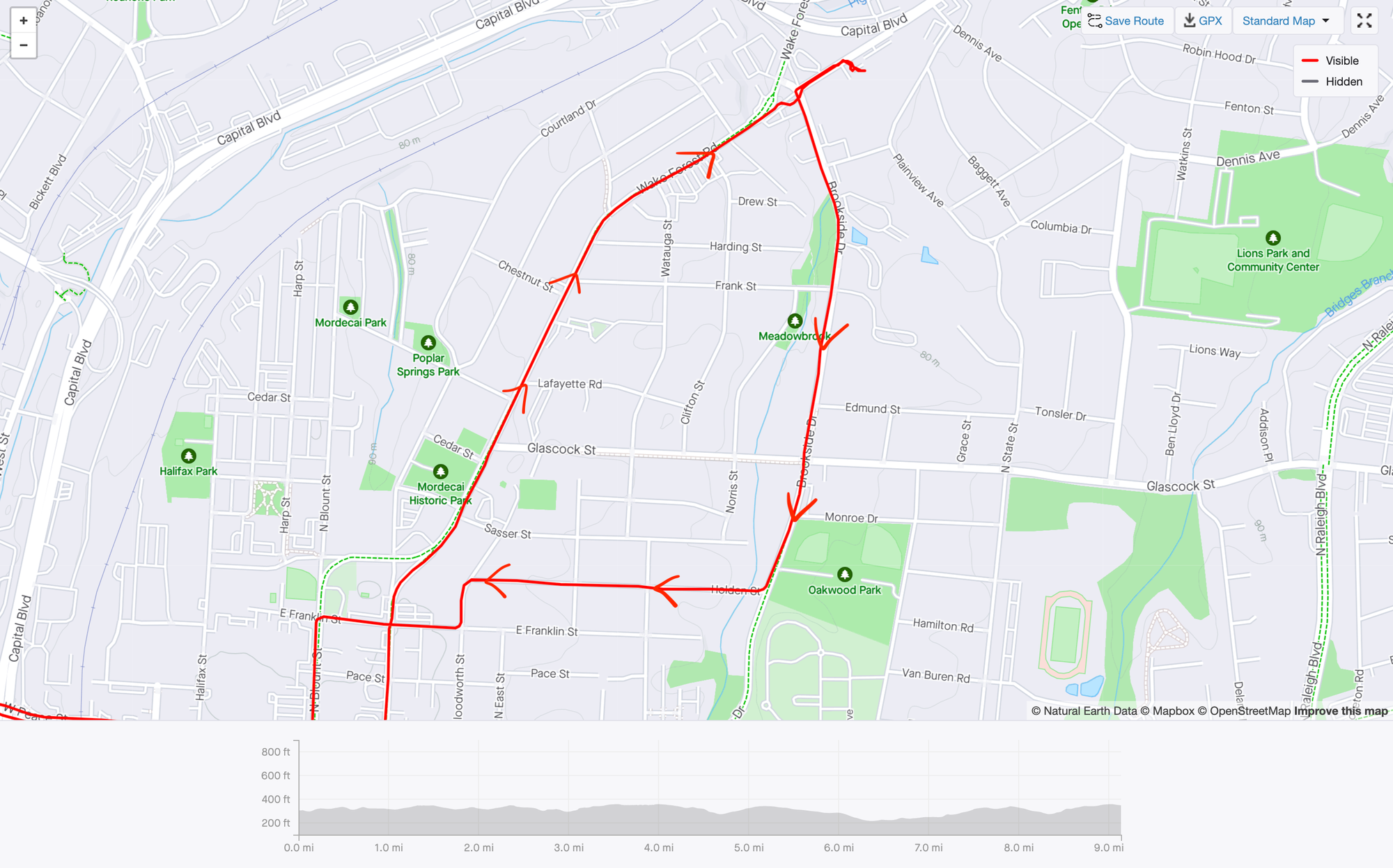
To me, Wake Forest Rd feels like a "busy" car road. Therefore, I'd never choose to ride uphill on that road. In my eyes, that's a "downhill-only" road. I take Brookside past The Optimist and Brookside Bodega and come up through the quiet neighborhoods. It's also way more fun this way - I can rip down Wake Forest, whereas I couldn't go that fast through the winding neighborhood roads. There are also no cars blowing by me as I crawl up those Oakwood hills.
This is how I approach the northeast portion of town, but the same thinking applies anywhere. Just gotta ride around and figure out where the fast and slow roads are! The heatmap also helps with that.
- Ride With Other People
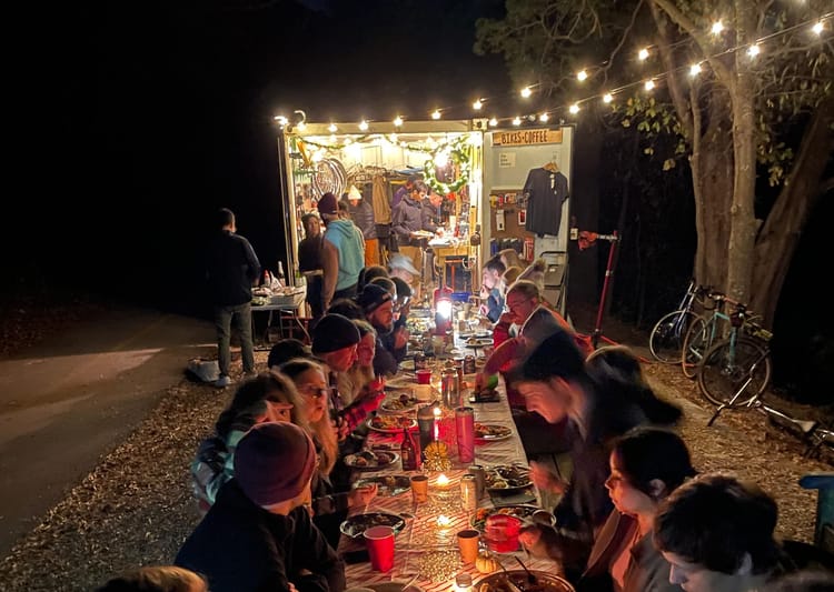
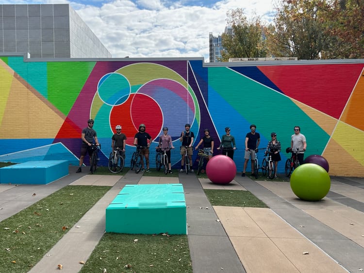
A great way to start getting comfortable riding in the city is to ride with other people. In a group, you're more visible to cars and you don't have to blindly guess where to go. Here's a snip of our last Espresso Express ride. Join us on Tuesdays at 7am from Trophy Morgan!
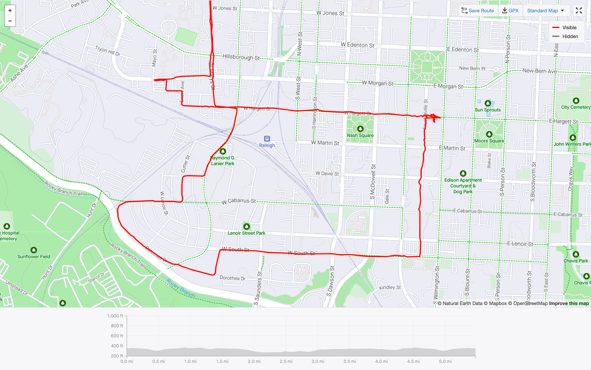
Hargett is a fantastic east-west route, as is South St. (but less so.) Dorothea Dr. is the curve on the southwest section of the map, and is a really nice side street to get across to Dix, over to South, or even back up through Boylan. As you ride more, you'll be able to "feel out" which roads are good to ride and naturally avoid those that aren't. On this ride, we rode counterclockwise and stopped at Morning Times for some coffee. Great morning navigating the city with friends.
Summary
- The Strava Heatmap will always be there for you to help as you start creating a route.
- Plan your ride so that you go downhill with traffic on the "busy" roads, and uphill on "quiet" roads.
- Riding in a group helps, but remember: it's a whole different game than riding alone. It's good to practice both, but if you only ever ride in groups, you'll feel very limited on where and when you can ride.
Now out and ride your bike! See you on the streets.


Comments ()